File:Chapelle des Hospices dite de l'Aumonerie ou Chapelle Jean-Boucard ouest.jpg

Original file (1,342 × 2,000 pixels, file size: 1.61 MB, MIME type: image/jpeg)
Summary
| Description |
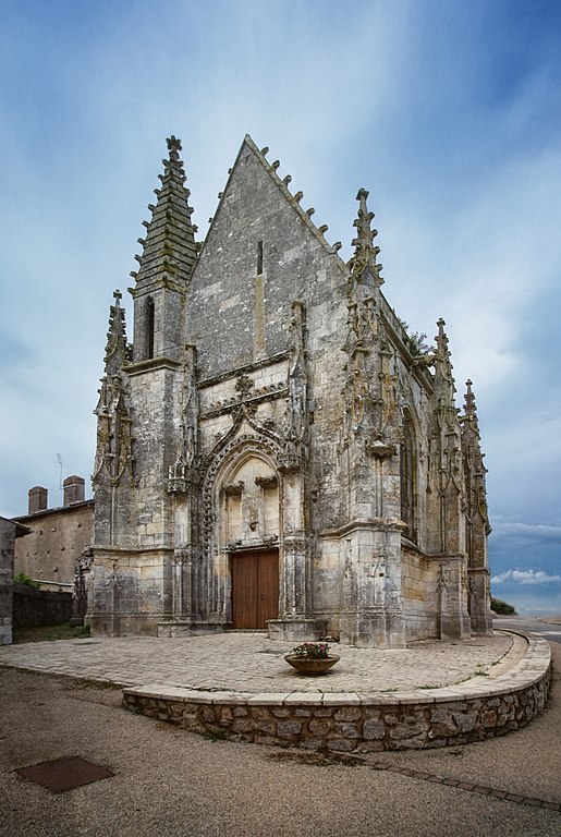
Français : Chapelle des Hospices dite de l'Aumonerie ou Chapelle Jean-Boucard
Localisation Poitou-Charentes ; Deux-Sèvres Ménigoute
Face exposed
|
||||||
| Date | |||||||
| Source | Own work | ||||||
| Author |
| ||||||
| Attribution (required by the license) | © Emmanuel Dissais / Wikimedia Commons / | ||||||
| Permission (Reusing this file) |
I, the copyright holder of this work, hereby publish it under the following license: This file is licensed under the Creative Commons Attribution-Share Alike 4.0 International license.
|
||||||
| Other versions |
|
||||||


| Camera location | | View this and other nearby images on: OpenStreetMap |
|---|

|
This image has been assessed under the valued image criteria and is considered the most valued image on Commons within the scope: Chapelle Jean-Boucard, Ménigoute France W exposed. You can see its nomination here. |
File history
Click on a date/time to view the file as it appeared at that time.
| Date/Time | Thumbnail | Dimensions | User | Comment | |
|---|---|---|---|---|---|
| current | 19:13, 8 June 2018 | | 1,342 × 2,000 (1.61 MB) | Emmanuel Dissais | User created page with UploadWizard |
File usage
The following 3 pages use this file:
Global file usage
The following other wikis use this file:
- Usage on ca.wikipedia.org
- Usage on ce.wikipedia.org
- Usage on es.wikipedia.org
- Usage on eu.wikipedia.org
- Usage on fi.wikipedia.org
- Usage on fr.wikipedia.org
- Usage on hu.wikipedia.org
- Usage on it.wikipedia.org
- Usage on pl.wikipedia.org
- Usage on ro.wikipedia.org
- Usage on tt.wikipedia.org
- Usage on uk.wikipedia.org
- Usage on vec.wikipedia.org
- Usage on zh.wikipedia.org