File:Collegiale du Dorat.jpg
Size of this preview: 800 × 492 pixels. Other resolutions: 320 × 197 pixels | 640 × 393 pixels | 1,024 × 629 pixels | 1,280 × 787 pixels | 3,068 × 1,886 pixels.
Original file (3,068 × 1,886 pixels, file size: 2.71 MB, MIME type: image/jpeg)
Summary
| Description |
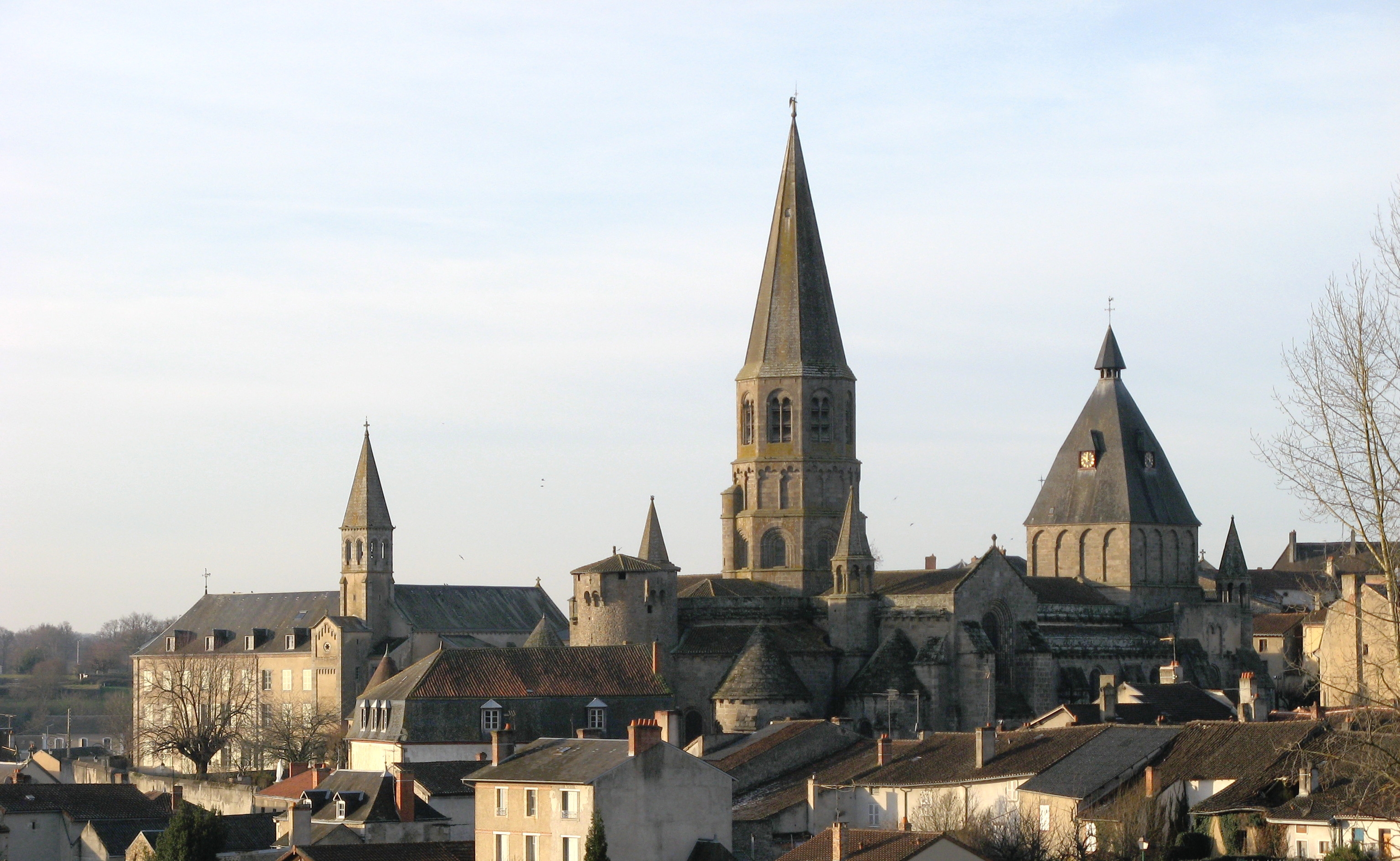
Français : Le Dorat (Haute Vienne). Vue générale. |
| Date | 27 June 2010 (according to Exif data) |
| Source | Own work |
| Author | Uploader was User:Villemartin |
| Camera location | | View this and other nearby images on: OpenStreetMap |
|---|
| This is a retouched picture, which means that it has been digitally altered from its original version. Modifications: color curve adjusted (black corr.). Modifications made by Saibo. The original can be found here: see file history.
|
Licensing
| I, the copyright holder of this work, release this work into the public domain. This applies worldwide. In some countries this may not be legally possible; if so: I grant anyone the right to use this work for any purpose, without any conditions, unless such conditions are required by law. |
File history
Click on a date/time to view the file as it appeared at that time.
| Date/Time | Thumbnail | Dimensions | User | Comment | |
|---|---|---|---|---|---|
| current | 03:03, 27 June 2010 | | 3,068 × 1,886 (2.71 MB) | Saibo | reworked prev. version: color curve adjusted (black corr.) |
| 15:14, 9 January 2007 |  | 3,068 × 1,886 (1,009 KB) | Villemartin | Le Dorat (Haute Vienne). Vue générale. |
File usage
The following 2 pages use this file:
Global file usage
The following other wikis use this file:
- Usage on ceb.wikipedia.org
- Usage on de.wikipedia.org
- Usage on de.wikivoyage.org
- Usage on en.wikipedia.org
- Usage on es.wikipedia.org
- Usage on fi.wikipedia.org
- Usage on fr.wikipedia.org
- Usage on la.wikipedia.org
- Usage on ms.wikipedia.org
- Usage on nl.wikipedia.org
- Usage on oc.wikipedia.org
- Usage on pl.wikipedia.org
- Usage on pt.wikipedia.org
- Usage on sv.wikipedia.org
- Usage on vi.wikipedia.org
- Usage on zh.wikipedia.org