File:Eglwys Sant Dogfan, Church of St Dogfan, Llanrhaeadr-ym-Mochnant, Powys 23.JPG

Size of this preview: 400 × 600 pixels. Other resolutions: 160 × 240 pixels | 320 × 480 pixels | 512 × 768 pixels | 682 × 1,024 pixels | 1,365 × 2,048 pixels | 2,848 × 4,272 pixels.
Original file (2,848 × 4,272 pixels, file size: 4.28 MB, MIME type: image/jpeg)
Summary
| Description |
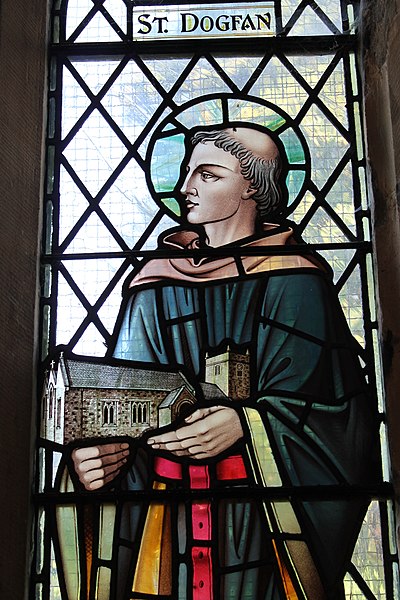
Cymraeg: Ffenest liw: Sant Dogfan.
Eglwys Sant Dogfan, Llanrhaeadr-ym-Mochnant, Powys, Cymru SY10 0JL. Soniwyd am yr eglwys yn 1254, er fod yma eglwys Geltaidd gynharach. English: Grade: II* Church of St Dogfan, Llanrhaeadr-ym-Mochnant, Powys, Wales. Date Listed: 1 April 1966. It is thought to be of monastic (clas) origin; St Dogfan's was mentioned in 1254 as 'ecclesia de Llanrhaeadr'.
|
||
| Date | |||
| Source | Own work | ||
| Author | Llywelyn2000 |
| Camera location | | View this and other nearby images on: OpenStreetMap |
|---|

|
This file was generated using equipment from Wikimedia UK, a Wikimedia local chapter.
|
Licensing
I, the copyright holder of this work, hereby publish it under the following license:
This file is licensed under the Creative Commons Attribution-Share Alike 3.0 Unported license.
- You are free:
- to share – to copy, distribute and transmit the work
- to remix – to adapt the work
- Under the following conditions:
- attribution – You must give appropriate credit, provide a link to the license, and indicate if changes were made. You may do so in any reasonable manner, but not in any way that suggests the licensor endorses you or your use.
- share alike – If you remix, transform, or build upon the material, you must distribute your contributions under the same or compatible license as the original.

|
This image was uploaded as part of Wiki Loves Monuments 2014.
|
File history
Click on a date/time to view the file as it appeared at that time.
| Date/Time | Thumbnail | Dimensions | User | Comment | |
|---|---|---|---|---|---|
| current | 13:54, 23 September 2014 | | 2,848 × 4,272 (4.28 MB) | Llywelyn2000 | User created page with UploadWizard |
File usage
The following 4 pages use this file:
Global file usage
The following other wikis use this file:
- Usage on arz.wikipedia.org
- Usage on ast.wikipedia.org
- Usage on ca.wikipedia.org
- Usage on cy.wikipedia.org
- Usage on de.wikipedia.org
- Usage on en.wikipedia.org
- Usage on eu.wikipedia.org
- Usage on ga.wikipedia.org
- Usage on gd.wikipedia.org
- Usage on gv.wikipedia.org
- Usage on id.wikipedia.org
- Usage on kw.wikipedia.org
- Usage on pt.wikipedia.org
- Usage on sco.wikipedia.org