File:La Cellette - le soldat rose - panoramio.jpg

Size of this preview: 450 × 600 pixels. Other resolutions: 180 × 240 pixels | 360 × 480 pixels | 576 × 768 pixels | 768 × 1,024 pixels | 1,480 × 1,972 pixels.
Original file (1,480 × 1,972 pixels, file size: 421 KB, MIME type: image/jpeg)
Summary
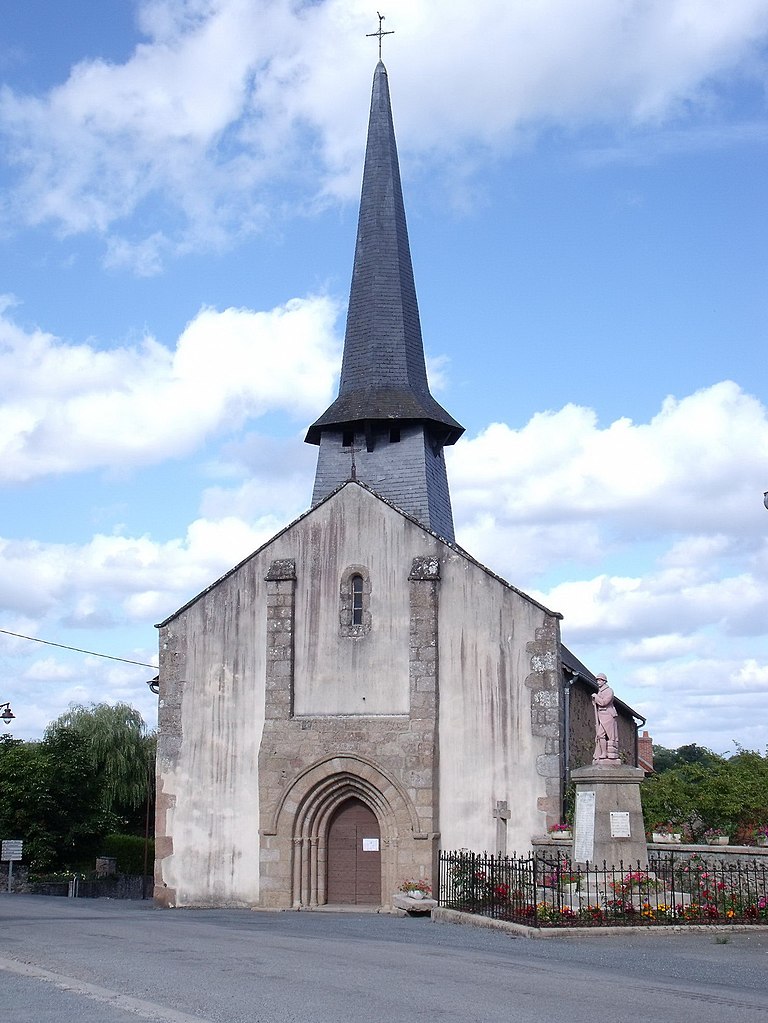
| Description | La Cellette - le soldat rose | ||
| Date | Taken on 24 July 2011 | ||
| Source | https://web.archive.org/web/20161024024108/http://www.panoramio.com/photo/56971494 | ||
| Author | Chadel | ||
| Permission (Reusing this file) |
This file is licensed under the Creative Commons Attribution 3.0 Unported license. Attribution: Chadel
|
||
| Tags (from Panoramio photo page) | La Cellette, bell tower, campanario, church, clocher, creuse, dorf, france, frankreich, limousin, pink soldat, soldaat, soldado, soldat rose, toren, village, église |
|
This building is inscrit au titre des monuments historiques de la France. It is indexed in the base Mérimée, a database of architectural heritage maintained by the French Ministry of Culture, under the reference PA00100027
|
| Object location | | View this and other nearby images on: OpenStreetMap |
|---|
File history
Click on a date/time to view the file as it appeared at that time.
| Date/Time | Thumbnail | Dimensions | User | Comment | |
|---|---|---|---|---|---|
| current | 09:09, 6 December 2016 | | 1,480 × 1,972 (421 KB) | Panoramio upload bot | == {{int:filedesc}} == {{Information |description=La Cellette - le soldat rose |date={{Taken on|2011-07-24}} |source=http://www.panoramio.com/photo/56971494 |author=[http://www.panoramio.com/user/1104405?with_photo_id=56971494 Chadel] |permission={{cc-... |
File usage
The following 3 pages use this file:
Global file usage
The following other wikis use this file:
- Usage on ca.wikipedia.org
- Usage on ceb.wikipedia.org
- Usage on ce.wikipedia.org
- Usage on de.wikipedia.org
- Usage on eo.wikipedia.org
- Usage on es.wikipedia.org
- Usage on eu.wikipedia.org
- Usage on fr.wikipedia.org
- Usage on hu.wikipedia.org
- Usage on it.wikipedia.org
- Usage on kk.wikipedia.org
- Usage on ms.wikipedia.org
- Usage on pl.wikipedia.org
- Usage on pt.wikipedia.org
- Usage on ro.wikipedia.org
- Usage on ru.wikipedia.org
- Usage on sk.wikipedia.org
- Usage on sr.wikipedia.org
- Usage on sv.wikipedia.org
- Usage on tt.wikipedia.org
- Usage on uk.wikipedia.org
- Usage on uz.wikipedia.org
- Usage on vec.wikipedia.org
- Usage on zh-yue.wikipedia.org
- Usage on zh.wikipedia.org