File:La ligne haute tension entre Avelin et Tourmignies.jpg
Original file (4,896 × 3,672 pixels, file size: 5.86 MB, MIME type: image/jpeg)
This is a file from the Wikimedia Commons. Information from its description page there is shown below.
Commons is a freely licensed media file repository. You can help.
Summary
DescriptionLa ligne haute tension entre Avelin et Tourmignies.jpg | |||||||||||||||||||||
Date | |||||||||||||||||||||
Source | Own work | ||||||||||||||||||||
Author |
creator QS:P170,Q97949455 |
||||||||||||||||||||
Permission (Reusing this file) |
|
||||||||||||||||||||
Other versions |
Camera location | 50° 30′ 48.92″ N, 3° 04′ 59.12″ E | View this and other nearby images on: OpenStreetMap | 50.513588; 3.083090 |
---|
Licensing
- You are free:
- to share – to copy, distribute and transmit the work
- to remix – to adapt the work
- Under the following conditions:
- attribution – You must give appropriate credit, provide a link to the license, and indicate if changes were made. You may do so in any reasonable manner, but not in any way that suggests the licensor endorses you or your use.
- share alike – If you remix, transform, or build upon the material, you must distribute your contributions under the same or compatible license as the original.
Annotations InfoField | This image is annotated: View the annotations at Commons |
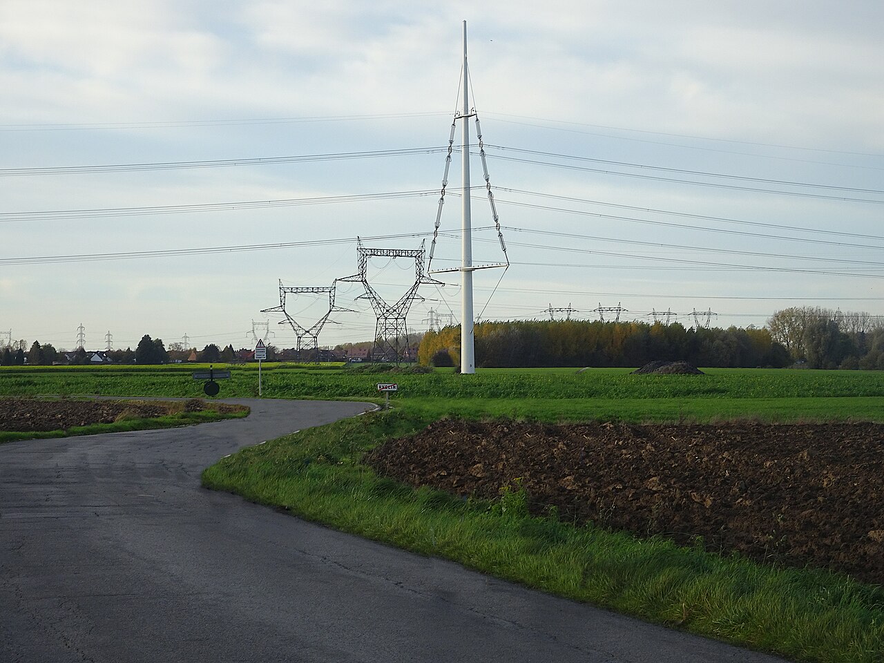
This image has been assessed under the valued image criteria and is considered the most valued image on Commons within the scope: Equilibre pylons, view from Imp. des Tilleuls, Tourmignies. You can see its nomination here. |
Items portrayed in this file
depicts
10 November 2022
50°30'48.917"N, 3°4'59.124"E
0.008 second
16.46 millimetre
image/jpeg
File history
Click on a date/time to view the file as it appeared at that time.
Date/Time | Thumbnail | Dimensions | User | Comment | |
---|---|---|---|---|---|
current | 09:47, 12 April 2023 | 4,896 × 3,672 (5.86 MB) | Pierre André Leclercq | correction sharpness | |
17:20, 11 November 2022 | 4,896 × 2,642 (2.81 MB) | Pierre André Leclercq | Uploaded own work with UploadWizard |
File usage
The following 2 pages use this file:
Global file usage
The following other wikis use this file:
- Usage on fr.wikipedia.org
Metadata
This file contains additional information, probably added from the digital camera or scanner used to create or digitize it.
If the file has been modified from its original state, some details may not fully reflect the modified file.
Image title | |
---|---|
Camera manufacturer | SONY |
Camera model | DSC-HX90V |
Exposure time | 1/125 sec (0.008) |
F Number | f/5 |
ISO speed rating | 80 |
Date and time of data generation | 17:05, 10 November 2022 |
Lens focal length | 16.46 mm |
Latitude | 50° 30′ 48.92″ N |
Longitude | 3° 4′ 59.12″ E |
Altitude | 35.2 meters above sea level |
Orientation | Normal |
Horizontal resolution | 350 dpi |
Vertical resolution | 350 dpi |
Software used | GIMP 2.10.34 |
File change date and time | 11:43, 12 April 2023 |
Y and C positioning | Co-sited |
Exposure Program | Normal program |
Exif version | 2.3 |
Date and time of digitizing | 17:05, 10 November 2022 |
Meaning of each component |
|
Image compression mode | 2 |
APEX brightness | 8.603125 |
APEX exposure bias | 0 |
Maximum land aperture | 4.640625 APEX (f/4.99) |
Metering mode | Pattern |
Light source | Unknown |
Flash | Flash did not fire, compulsory flash suppression |
Supported Flashpix version | 1 |
Color space | sRGB |
File source | Digital still camera |
Scene type | A directly photographed image |
Custom image processing | Normal process |
Exposure mode | Auto exposure |
White balance | Auto white balance |
Digital zoom ratio | 1 |
Focal length in 35 mm film | 96 mm |
Scene capture type | Standard |
Contrast | Normal |
Saturation | Normal |
Sharpness | Normal |
GPS time (atomic clock) | 15:05 |
Receiver status | Measurement in progress |
Measurement mode | 3-dimensional measurement |
Measurement precision | Poor (1.23) |
Speed unit | Kilometers per hour |
Speed of GPS receiver | 0.19 |
Reference for direction of movement | True direction |
Direction of movement | 83.75 |
Geodetic survey data used | WGS-84 |
GPS date | 10 November 2022 |
GPS differential correction | 0 |
GPS tag version | 0.0.3.2 |
Unique ID of original document | xmp.did:db776791-aa50-45e7-86d4-b8ed6881da41 |