File:Louvrechy - église 4795.jpg

Size of this preview: 800 × 596 pixels. Other resolutions: 320 × 239 pixels | 640 × 477 pixels | 1,024 × 763 pixels | 1,280 × 954 pixels | 2,560 × 1,909 pixels | 2,767 × 2,063 pixels.
Original file (2,767 × 2,063 pixels, file size: 3.9 MB, MIME type: image/jpeg)
|
This building is indexed in the base Mérimée, a database of architectural heritage maintained by the French Ministry of Culture, under the reference PA00116192
|
Summary
| Description |
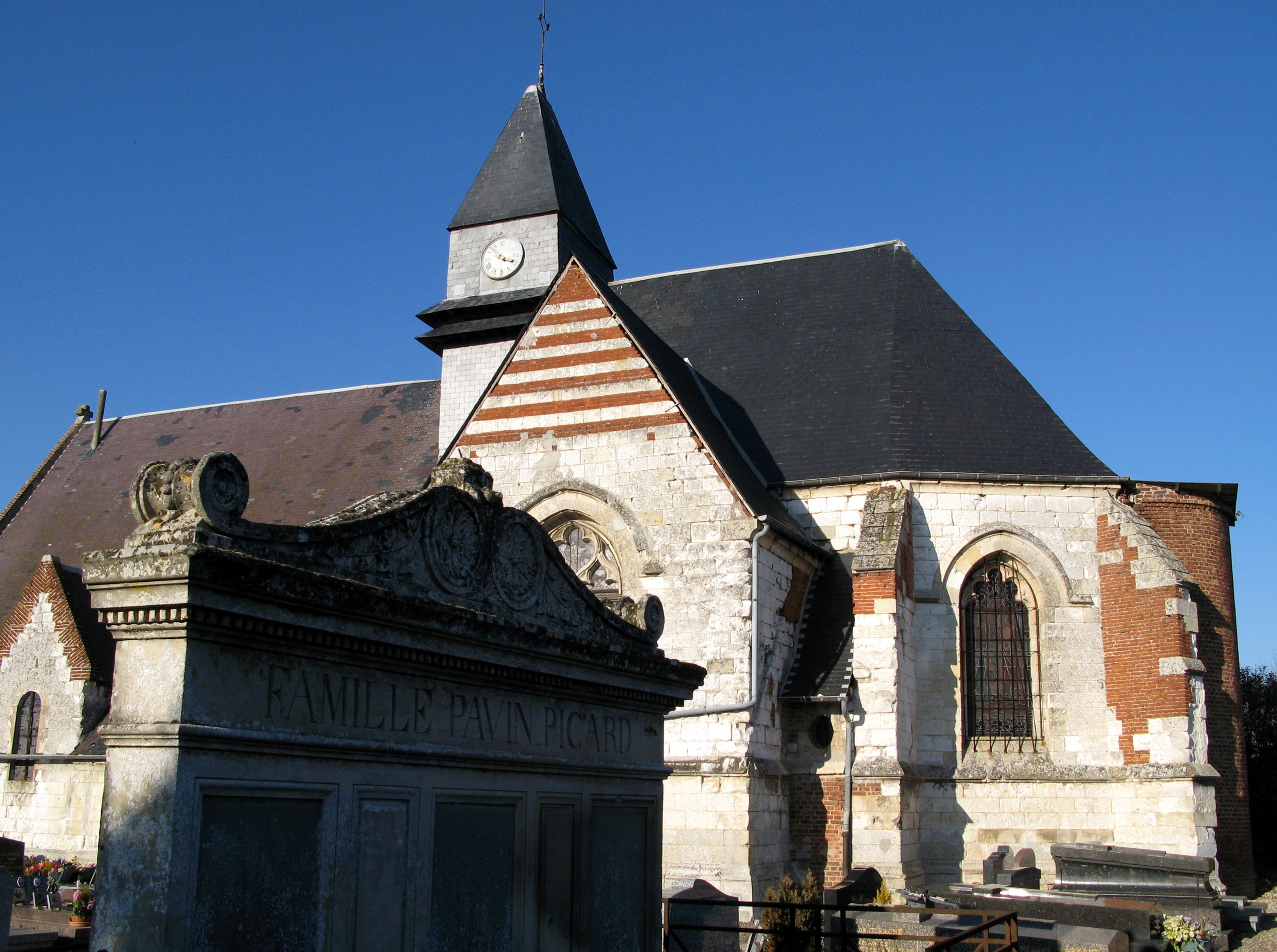
Louvrechy (Somme, France) -
|
| Date | |
| Source | Own work |
| Author | Markus3 (Marc ROUSSEL) |
| Permission (Reusing this file) |
I, the copyright holder of this work, hereby publish it under the following license: This file is licensed under the Creative Commons Attribution-Share Alike 3.0 Unported license.
|
| Object location | | View this and other nearby images on: OpenStreetMap |
|---|
File history
Click on a date/time to view the file as it appeared at that time.
| Date/Time | Thumbnail | Dimensions | User | Comment | |
|---|---|---|---|---|---|
| current | 08:56, 30 November 2011 | | 2,767 × 2,063 (3.9 MB) | Markus3~commonswiki | == {{int:filedesc}} == {{Information |Description='''Louvrechy''' (Somme, France) - <br>L'église est dans le cimetière. |Source={{own}} |Date=2008-02-12 |Author=Markus3 (Marc ROUSSEL) |Permission={{self|cc-by-sa-3.0}} |other_versio |
File usage
The following 2 pages use this file:
Global file usage
The following other wikis use this file:
- Usage on fr.wikipedia.org
- Usage on pcd.wikipedia.org
- Usage on sk.wikipedia.org