File:Martel en Quercy-Église Saint Maur-196510.jpg
Size of this preview: 800 × 537 pixels. Other resolutions: 320 × 215 pixels | 640 × 430 pixels | 1,024 × 688 pixels | 1,280 × 860 pixels | 2,560 × 1,720 pixels | 3,096 × 2,080 pixels.
Original file (3,096 × 2,080 pixels, file size: 2.97 MB, MIME type: image/jpeg)
Summary
| Description |
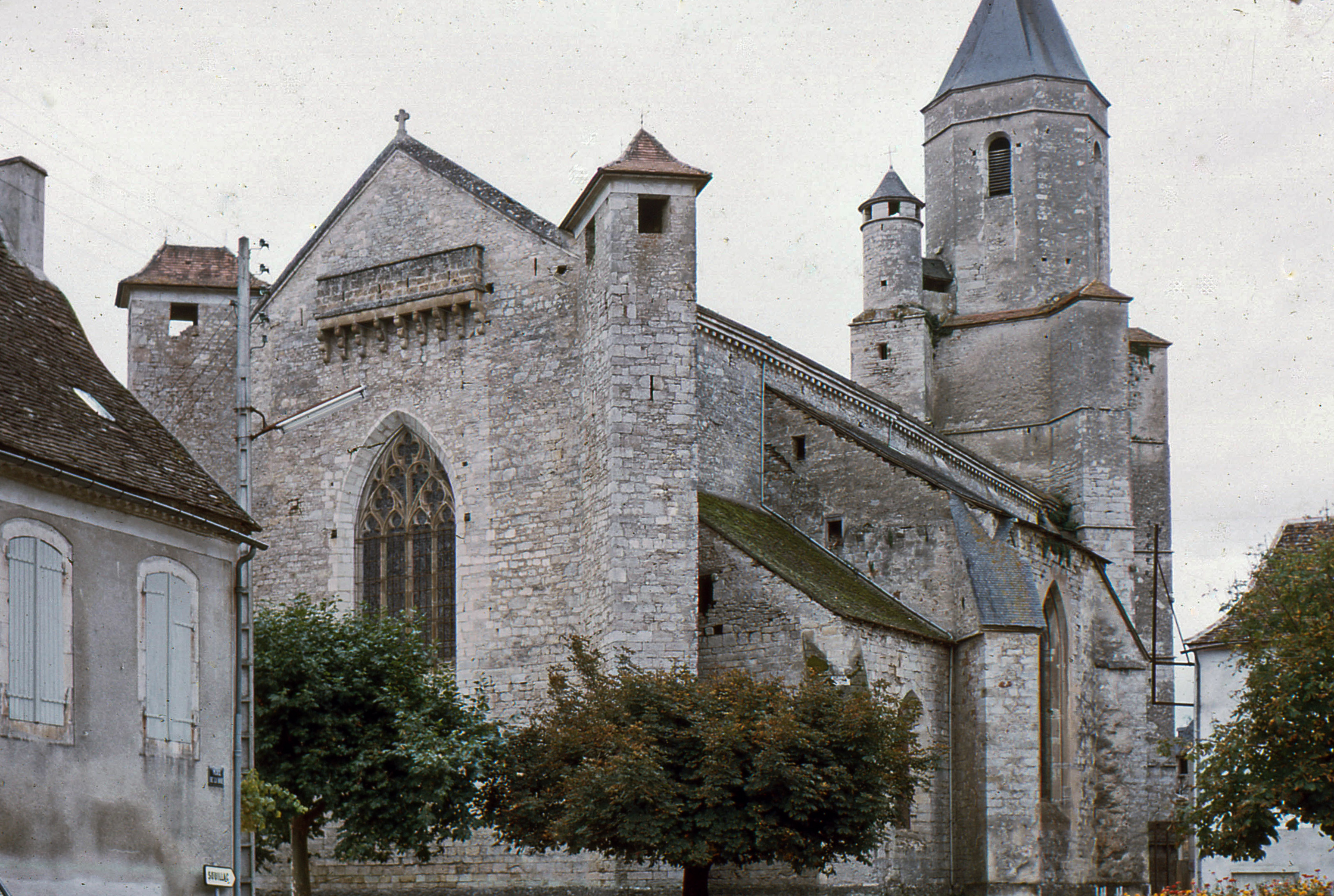
Church Saint Maurus of Martel. | ||
| Protection |
|
||
| Camera | Zeiss Ikon Contessa LKE using 100 ASA Kodachrome film | ||
| Scanner | Epson Perfection V33 Scanner @2400dpi | ||
| Date | October 1965 | ||
| Source | Own work. | ||
| Author | Daniel VILLAFRUELA. | ||
| Permission (Reusing this file) |
Daniel VILLAFRUELA, the copyright holder of this work, hereby publishes it under the following license: This file is licensed under the Creative Commons Attribution-Share Alike 4.0 International license. Attribution: Daniel VILLAFRUELA
|
| Object location | | View this and other nearby images on: OpenStreetMap |
|---|
| Camera location | | View this and other nearby images on: OpenStreetMap |
|---|
File history
Click on a date/time to view the file as it appeared at that time.
| Date/Time | Thumbnail | Dimensions | User | Comment | |
|---|---|---|---|---|---|
| current | 08:36, 16 November 2015 | | 3,096 × 2,080 (2.97 MB) | Daniel VILLAFRUELA | Cleaned |
| 17:58, 27 January 2013 |  | 3,096 × 2,080 (1 MB) | Daniel VILLAFRUELA | {{Information |Description = {{mld |en= Church {{w|Saint Maurus||en}} of {{w|Martel, Lot|Martel|en}}. |es= Iglesia {{w|Mauro de Anjou|San Mauro|es}} de {{w|Martel||es}}. |fr= Église {{w|Saint Maur||fr}} de {{w|Martel (Lot)|Martel|fr}}. }} |Source ... |
File usage
The following 2 pages use this file:
Global file usage
The following other wikis use this file:
- Usage on ca.wikipedia.org
- Usage on fr.wikipedia.org