File:Orange River and mountains, South Africa.jpg

Size of this preview: 800 × 600 pixels. Other resolutions: 320 × 240 pixels | 640 × 480 pixels | 1,024 × 768 pixels.
Original file (1,024 × 768 pixels, file size: 376 KB, MIME type: image/jpeg)
Summary
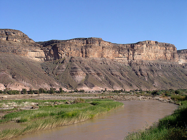
| Description | Orange River marks the border between South Africa and Namibia |
| Date | |
| Source | Orange River, South Africa |
| Author | Damien du Toit from Cape Town, South Africa |
Licensing
This file is licensed under the Creative Commons Attribution 2.0 Generic license.
- You are free:
- to share – to copy, distribute and transmit the work
- to remix – to adapt the work
- Under the following conditions:
- attribution – You must give appropriate credit, provide a link to the license, and indicate if changes were made. You may do so in any reasonable manner, but not in any way that suggests the licensor endorses you or your use.
| This image, originally posted to Flickr, was reviewed on January 11, 2009 by the administrator or reviewer File Upload Bot (Magnus Manske), who confirmed that it was available on Flickr under the stated license on that date. |
File history
Click on a date/time to view the file as it appeared at that time.
| Date/Time | Thumbnail | Dimensions | User | Comment | |
|---|---|---|---|---|---|
| current | 17:28, 11 January 2009 | | 1,024 × 768 (376 KB) | File Upload Bot (Magnus Manske) | {{Information |Description= Marks the border between South Africa and Namibia - check out the [http://en.wikipedia.org/wiki/Orange_River Wikipedia entry] for more information. |Source=[http://www.flickr.com/photos/51035677132@N01/186603100/ Orange River, |
File usage
The following 7 pages use this file:
- Q224934
- Wikidata:WikiProject Geology/Lists of sedimentary units by country/Angola
- Wikidata:WikiProject Geology/Lists of sedimentary units by country/Lesotho
- Wikidata:WikiProject Geology/Lists of sedimentary units by country/Namibia
- Wikidata:WikiProject Geology/Lists of sedimentary units by country/South Africa
- Wikidata:WikiProject Geology/Lists of sedimentary units by country/Swaziland
- Wikidata:WikiProject Geology/Lists of sedimentary units by country/Zimbabwe
Global file usage
The following other wikis use this file:
- Usage on af.wikipedia.org
- Usage on an.wikipedia.org
- Usage on de.wikipedia.org
- Usage on eu.wikipedia.org
- Usage on frr.wikipedia.org
- Usage on hr.wikipedia.org
- Usage on ka.wikipedia.org
- Usage on lv.wikipedia.org
- Usage on nl.wikipedia.org
- Usage on no.wikipedia.org
- Usage on ru.wikipedia.org
- Usage on uk.wikipedia.org