File:Longovicium - geograph.org.uk - 344015.jpg
No higher resolution available.
Longovicium_-_geograph.org.uk_-_344015.jpg (640 × 480 pixels, file size: 125 KB, MIME type: image/jpeg)
Summary
| Description |
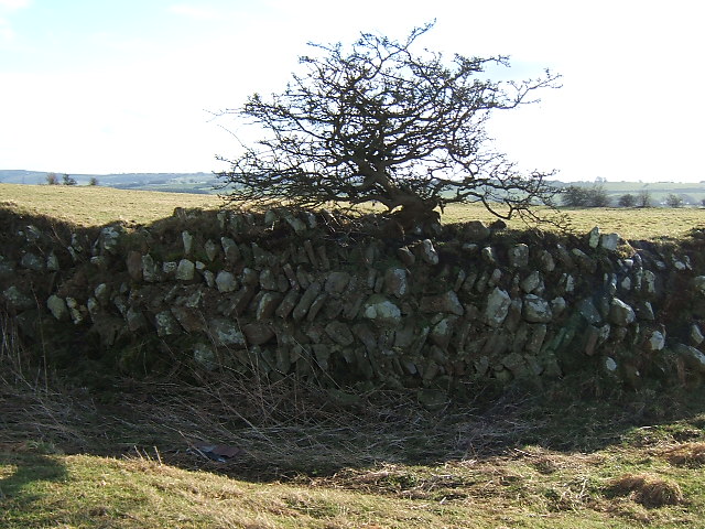
English: Longovicium The distinctive herringbone pattern walls of this Roman fort are much more readily visible in winter when the vegetation has died down. There is no public access so the road view is all you get. |
| Date | |
| Source | From geograph.org.uk |
| Author | David Collins |
| Attribution (required by the license) | David Collins / Longovicium / |
| Camera location | | View this and other nearby images on: OpenStreetMap |
|---|
_heading:90.00&language=en)
| Object location | | View this and other nearby images on: OpenStreetMap |
|---|
_heading:90.00&language=en)
Licensing

|
This image was taken from the Geograph project collection. See this photograph's page on the Geograph website for the photographer's contact details. The copyright on this image is owned by David Collins and is licensed for reuse under the Creative Commons Attribution-ShareAlike 2.0 license.
|
This file is licensed under the Creative Commons Attribution-Share Alike 2.0 Generic license.
Attribution: David Collins
- You are free:
- to share – to copy, distribute and transmit the work
- to remix – to adapt the work
- Under the following conditions:
- attribution – You must give appropriate credit, provide a link to the license, and indicate if changes were made. You may do so in any reasonable manner, but not in any way that suggests the licensor endorses you or your use.
- share alike – If you remix, transform, or build upon the material, you must distribute your contributions under the same or compatible license as the original.
File history
Click on a date/time to view the file as it appeared at that time.
| Date/Time | Thumbnail | Dimensions | User | Comment | |
|---|---|---|---|---|---|
| current | 17:26, 2 January 2011 | | 640 × 480 (125 KB) | GeographBot | == {{int:filedesc}} == {{Information |description={{en|1=Longovicium The distinctive herringbone pattern walls of this Roman fort are much more readily visible in winter when the vegetation has died down. There is no public access so the road view is all |
File usage
The following 2 pages use this file:
Global file usage
The following other wikis use this file:
- Usage on br.wikipedia.org
- Usage on de.wikipedia.org
- Usage on en.wikipedia.org
- Usage on es.wikipedia.org
- Usage on fr.wikipedia.org
- Usage on ga.wikipedia.org
- Usage on gl.wikipedia.org
- Usage on sv.wikipedia.org